
Good Morning! Wednesday was frigid, with a low of 15 and a high of 40. Today we will make it into the lower 50’s, which sounds like a heatwave. But, more changes are on the way as an yet another Arctic Cold Front approaches. Scattered showers will pop up by late afternoon and continue tonight. Rainfall will be light. Arctic Blast Number 2 arrives Friday. Windy and Cold. Upper teens by Friday night. Frigid Saturday with highs in the 30’s, and more teens Saturday night. But, stand by for a big pattern flip next week. Are you ready for a January thaw? Temperatures will soar into the 60’s starting Tuesday. Maybe lower 70’s late week. The trade off will be showers & thunderstorms. Will there be any Severe Threats? Probably. Don’t know yet. Here’s my brief forecast discussion.
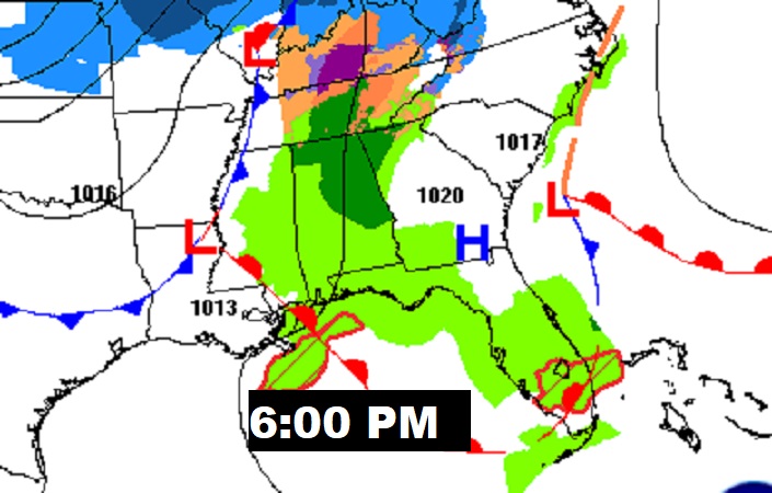
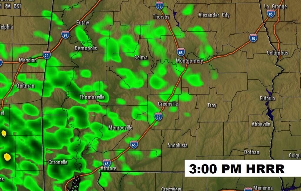
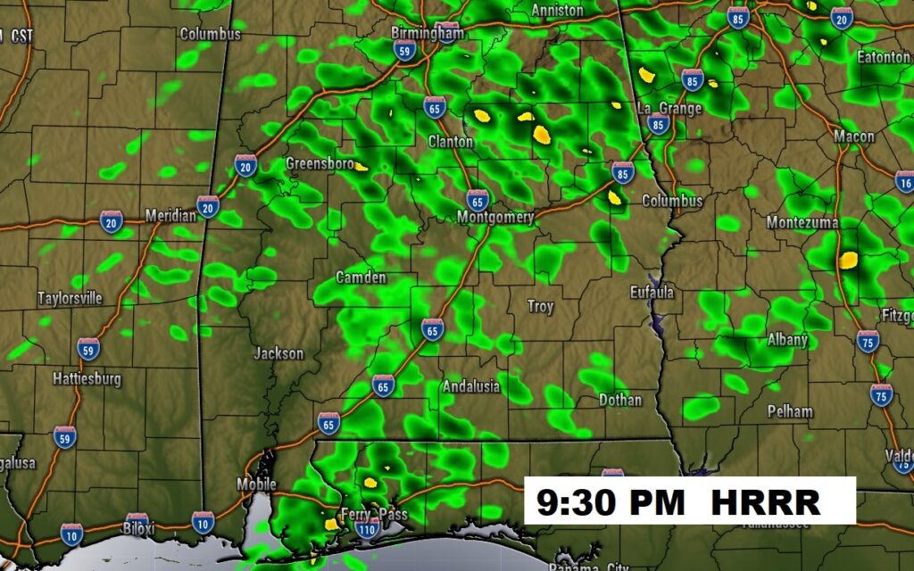
TODAY: Increasing clouds not quite as cold. Risk of showers by late afternoon and Thursday night. Southeast wind 6 to 12. High in the lower 50’s. Rain risk ending around midnight. Low tonight 40.
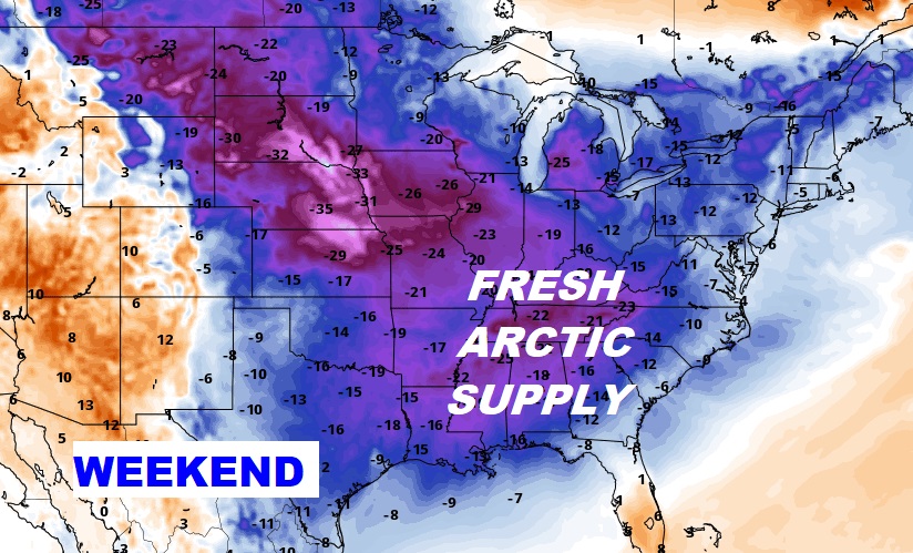
NEXT FEW DAYS: Yet another chunk of Arctic air arrives on Tomorrow. Windy & cold Friday with highs in the 40’s. Back to the teens on Friday night. Saturday’s high only in the 30’s. Mid 40’s Sunday. Next week will be MUCH WARMER. The trade off will be some wet & stormy at times.
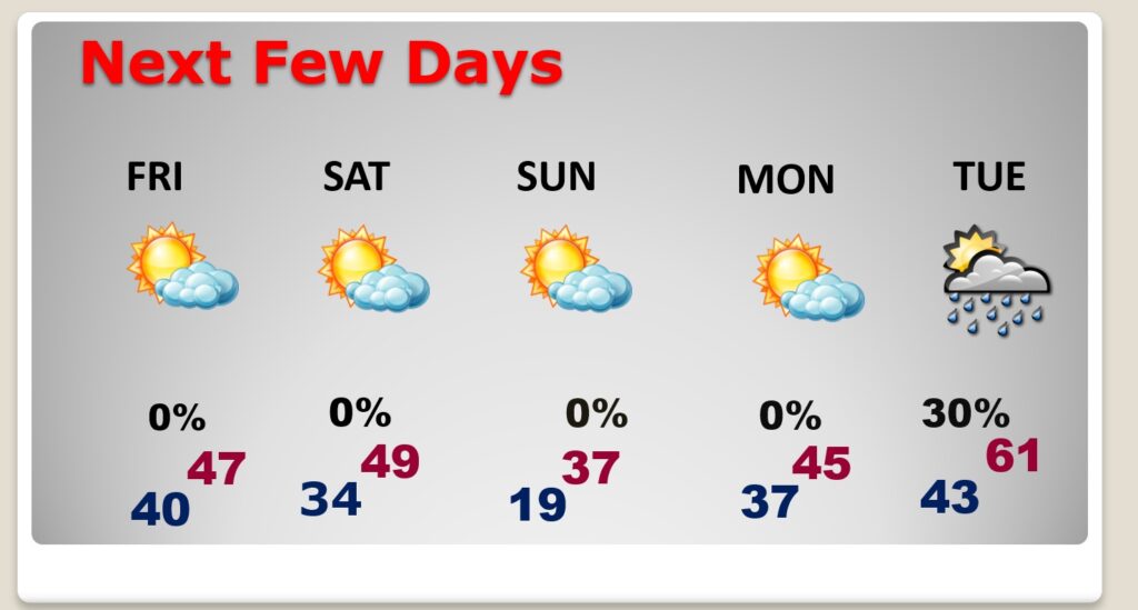
Arctic Front Approaches. Friday will be windy and Colder.
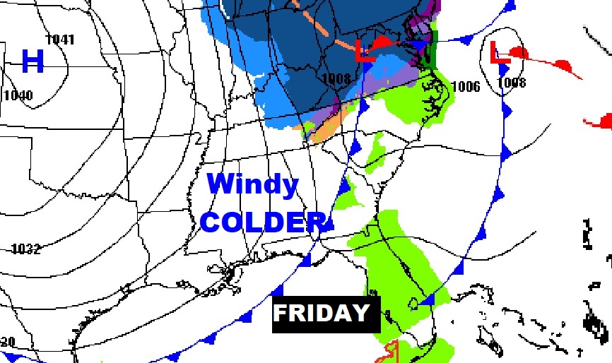
Get ready for Arctic Blast Number 2. Teens Friday and Saturday night. Saturday’s high only in the 30’s.
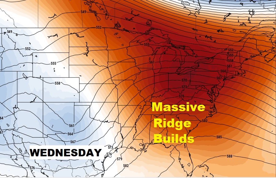
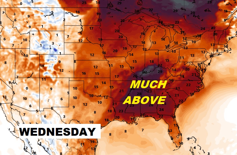
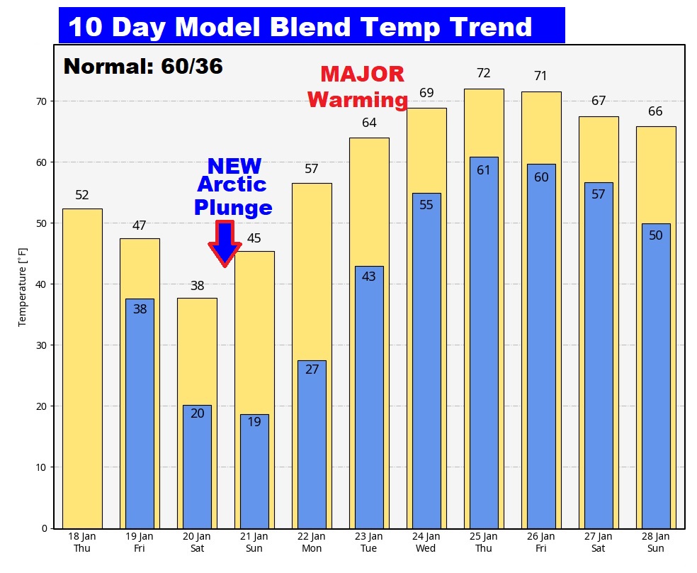
Next week will be MUCH WARMER. Get ready for a significant Switch in patterns. A BIG FLIP. An upper ridge of high pressure builds. Temperatures will be way above normal.
Here’s the 10 day Model Blend Temperature trend. Get ready for a major warm-up next week.
This morning everything is normal including Live on the radio 6 to 9AM on NewsTalk 93.1 WACV. There will be another Blog update in the morning.
–Rich